

Travel Information
Myanmar Travel Guide
Explore Myanmar States by State
- Naypyitaw
- Ayeyarwady
- Bago
- Chin
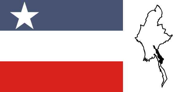
- Kachin
- Kayah
- Kayin
- Magway
- Mandalay
- Mon
- Rakhine
- Shan
- Sagaing
- Tanintharyi
- Yangon
We have 60 guests and no members online.
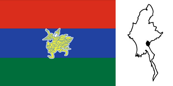
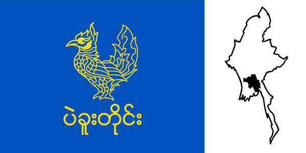
Kayah State
Mateku Falls and Lawpita Falls on Balu Chaung are scenic beauties of Kayah State. which has a generally hilly topography. It is located between 18o 29’N and 19o 58’N latitudes. 96o 50’E and 97o 52’E longitudes. bordering Thailand on the east. Shan State on the north. and Karen State on the west and south.
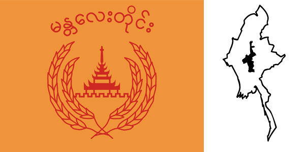
Mandalay Region
Mandalay Region falls in the Dry Zone of Central Mandalay bordering Bago Region on the south, Magway Region on the west, Sagaing Region on the north and Shan State on the east. Its area is 14,295 square miles and its capital is Mandalay City.
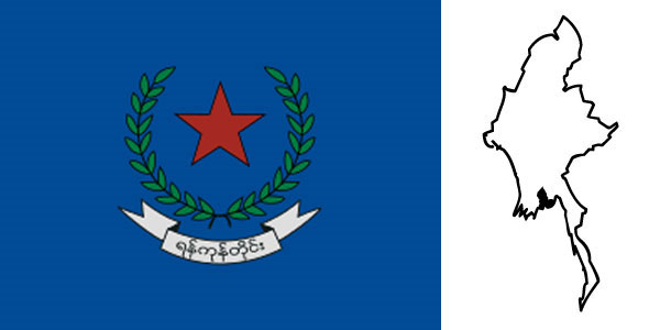
Yangon Region
Yangon Region (ရန်ကုန်တိုင်းဒေသကြီး) has the main port Yangon. The City lies where 16o 19’N latitude intersects 96o 52’E longitude. Yangon Region is located at the eastern extremity of the Ayeyarwaddy Delta area with Andaman Sea on the south-east, Bago Region on the north and Ayeyarwaddy Region on the west.
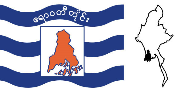
Ayeyarwaddy Region
Ayeyarwaddy Region covers the deltaic coast of the Ayeyarwaddy River. on the northwest and west of this division are the Bay of Bengal and Rakhine State. on the north and east is Bago Division. on the east is the Yangon Division. and on the south is the Andaman Sea.
Bago Region
Bago Region is located between Mandalay Region and Magwe Region in the north. Rakhine State and Ayeyarwaddy Region in the west. Yangon Region in the south. Kayin State and Mon State on the east. Its area is 15.214 square miles and its Capital is Bago City.
Magway Region
Magway Region falls in the Dry Zone of Central Myanmar. bordering Mandalay Region on the east. Sagaing Region on the north. Chin State and Rakhine State on the west and Bago Region on the south. Its area is 17.305 square miles and its Capital is Magway City.
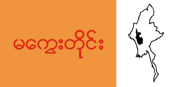
Tanintharyi Region
Tanintharyi Region lies at the southern end of Myanmar. The Region has common borders with Thailand on the east and south-east. Mon State on the north. and Andaman Sea on the west. The area of the Region is 16.735 square miles. Out of about 1.000 islands along Myanmar’s coastline over 800 are in Tanintharyi coast.
Chin State
Chin State is located in the north-west of Myanmar between 20o 40 ‘N and 24o 06’N latitudes and 92o 37’E and 94o 09’E longitudes. To the north and east of Chin State is Sagaing Division. to the south are Magway Division and Rakhine State. to the west are Bangladesh and India.

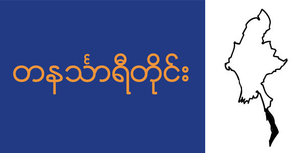
Mon State
Chin State is located in the north-west of Myanmar between 20o 40 ‘N and 24o 06’N latitudes and 92o 37’E and 94o 09’E longitudes. To the north and east of Chin State is Sagaing Division. to the south are Magway Division and Rakhine State. to the west are Bangladesh and India.
Rakhine State
Rakhine State is located between 17o 21’N and 21o 24 ‘N latitudes and 92o 10 ‘E and 94o 54 ‘E longitudes bordering Bangladesh on the north-west. Chin State on the north. Magway Division. Bago Division and Ayeyarwaddy Division on the east and the Bay of Bengal on the west and south.
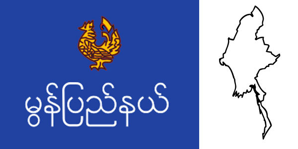
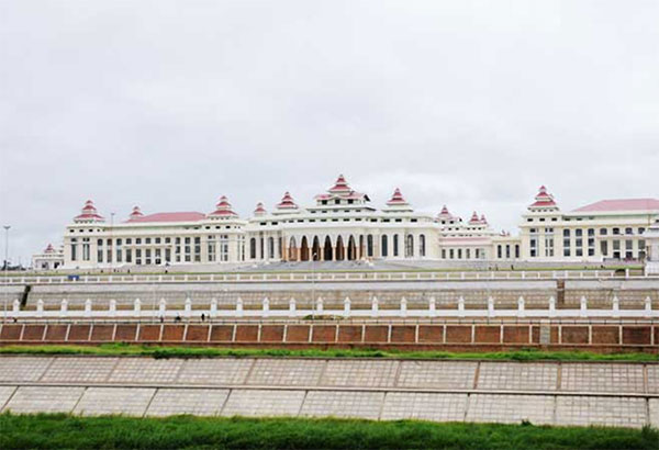
Naypyitaw
Naypyitaw is the administrative capital of the Republic of the Union of Myanmar. Centrally lovated. it is 391 km from Yangon and 302 km from Mandalay. being easily accessible from all parts of the country.
Shan State
Shan State is located in the Middle Eastern part of Myanmar between 19o 17’N and 24o 13’N latitudes and 96o 10’E and 101o 11’E longitudes. It is bounded on the northeast by the People’s Republic of China. on the southeast and south by Laos and Thailand. on the north by Kachin State. Sagaing and Karen State on the south.
Sagaing Region
Sagaing Region is situated in the north-west of Myanmar between Chin State on the west. Kachin State on the north-east. Shan State on the east and Magway Region and Mandalay Region on the south. With an area of 36.535 square miles. Sagaing Region is the largest among all Region. The Capital of Sagaing Region is Sagaing.
Kayin State
Kayin State lies between 15o 12’N and 19o 28’N latitudes and 96o 23’E and 98o 56’E longitudes on the east of Myanmar. It has common borders with Mandalay Division and Shan State on the north. Kayah State and Thailand on the east. Mon State and Bago Division on the west. Its area is 11.731 square miles.
Contact Us
Address
2805/2806, World Financial Center, No.188 Minzu Road, Yuzhong District, Chongqing.
Phone
(86) (023) 86562808, 86562779
Fax
(86)(023)86562887